Review Hard-to-Reach Areas
Capture detailed views of roofs, structures, equipment, and elevated areas before arranging closer physical access.
100% INDIGENOUSLY OWNED
Thermal inspections, high-resolution imaging, damage documentation, and aerial media for buildings, infrastructure, industrial sites, and commercial projects.
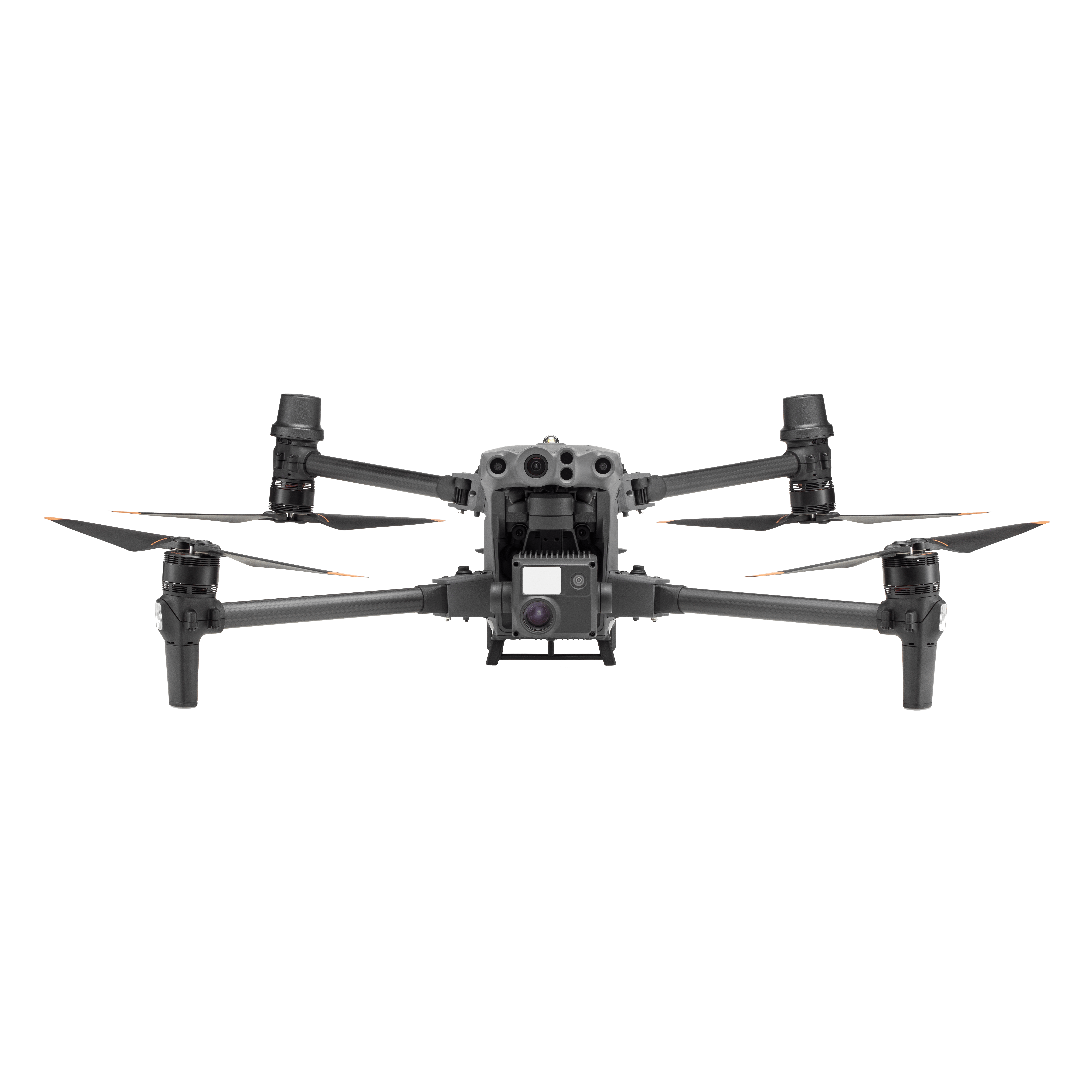
Capability
Capture temperature-based imagery to identify heat differences, hot spots, and areas that may require closer inspection.
Thermal Imaging
Temperature-based aerial imagery for inspection and problem-area documentation.
Industrial Focus
Imaging support for buildings, infrastructure, utilities, equipment, and operational sites.
Clear Documentation
High-resolution visual records for reporting, maintenance, planning, and comparison.
Incorporated Business
Professional project communication and clearly defined aerial service deliverables.
INSPECTION, DOCUMENTATION & MEDIA
From thermal and building inspections to infrastructure documentation and professional aerial media, each service is planned around the information the client actually needs.
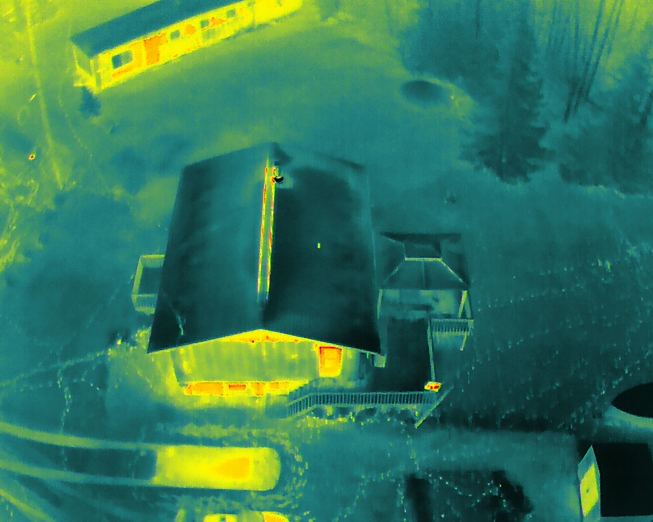
Aerial thermal imaging for identifying temperature differences, hot spots, and areas that may require closer inspection across buildings, roofs, equipment, solar installations, and large sites.
High-resolution aerial imaging for roofs, chimneys, gutters, siding, commercial buildings, and other difficult-to-access areas without relying solely on ladders or scaffolding.
Detailed aerial imagery for utilities, infrastructure, equipment, towers, lines, and supporting assets where safe access and clear visual documentation are important.
Visual and thermal imaging support for industrial facilities, operational sites, equipment, structures, and hard-to-reach areas requiring organized inspection documentation.
Photo and video documentation for storm, fire, roof, property, and equipment damage to support records, planning, repairs, restoration work, and follow-up comparison.
Visual and thermal imaging for identifying visible damage, temperature irregularities, hot spots, and potential maintenance concerns across solar installations.
Aerial visual and thermal imaging for wildlife observation, habitat review, population documentation, and locating animals across large or difficult-to-access areas with minimal ground disturbance.
Professional aerial photography and video for businesses, promotional content, approved events, properties, project records, and commercial media production.
WHY AERIAL INSPECTION?
Aerial imaging helps teams review roofs, structures, equipment, and large sites from multiple viewpoints before deciding where closer hands-on inspection may be required.
Capture detailed views of roofs, structures, equipment, and elevated areas before arranging closer physical access.
Document properties and operational sites from multiple viewpoints without relying only on ground-level observation.
Organize visual and thermal imagery for reporting, maintenance planning, repair discussions, and comparison.
Combine detailed inspection views with wider site imagery to help teams understand location, surrounding conditions, and possible next steps.
HOW A PROJECT WORKS
Every project begins by understanding the site, the required imagery, and how the final results will be used.
Tell us about the property, site, inspection need, or media project and the results you are looking for.
We review the location, required coverage, operating considerations, and appropriate imaging approach.
The planned visual, thermal, photo, or video work is completed with attention to useful and organized coverage.
The agreed imagery and documentation are prepared and delivered in a format suited to the project.
Inspection • Documentation • Media
ABOUT WATTS DRONE IMAGING SERVICES
Watts Drone Imaging Services Inc. is a 100% Indigenous-owned company providing professional aerial imaging and inspection services. We combine modern drone technology with a practical, client-focused approach to deliver clear documentation and useful information for projects across Canada.
Each project is planned around the site, the information the client needs, and how the final imagery will be used.
Visual and thermal imagery is captured with the intended review, record, or project purpose in mind.
Coverage and imaging requirements are discussed before the operation is carried out.
Scope, expected imagery, and next steps are clarified before confirming the work.
Scope, expected imagery, and next steps are clarified before confirming the work.
REQUEST A QUOTE
Provide a few details about the property, site, or project. We will review the request, clarify the required coverage, and discuss an appropriate aerial imaging approach.
We look at the project location, requested service, and intended use of the imagery.
Additional details may be discussed before confirming coverage, deliverables, and project requirements.
Once the request is understood, we can discuss scheduling and an appropriate quote.